Description
International Textbook Company, Published 1937. Hardcover, v, 79, 152 pp.; 20 cm; illustrated with black-and-white line engravings, diagrams and tables throughout, with 7 mapping plates, several of them double-page.

Rare, out-of-print & unusual books · Since 1997
Turn the pages with the arrows, keyboard, or a swipe.
International Textbook Company, Published 1937. Hardcover, v, 79, 152 pp.; 20 cm; illustrated with black-and-white line engravings, diagrams and tables throughout, with 7 mapping plates, several of them double-page.
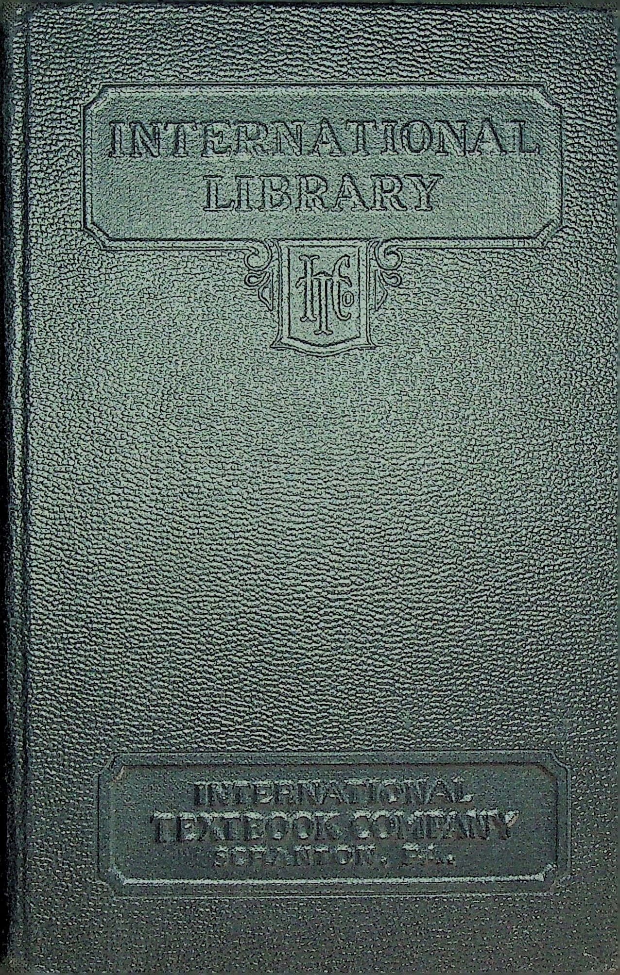
In Very Good condition, no dust jacket. Black pebble-grained cloth, blind-stamped International Library panel and International Textbook Company monogram on front cover, blind-stamped publisher's panel at foot, gilt lettering on spine, with minor rubbing to the volume number at foot of spine, reading from the foot upward as in all volumes of the series. Mild shelf and edge wear. Binding tight. Green and cream marbled endpapers, blue-stained page edges. Pages clean and unmarked.Volume 323C in the bound series issued by International Textbook Company, the publishing arm of the International Correspondence Schools of Scranton, Pennsylvania. ICS grew out of a mine-safety question-and-answer column run by Thomas J. Foster in the Colliery Engineer and Metal Miner and enrolled its first class of 500 miners in 1891; cumulative enrollment reached four million by 1930, making it the most successful correspondence school in American history. The bound volumes gathered the loose serial-numbered Instruction Papers into permanent form, this one comprising Mapping Part 1 (Serial 2913A-2, Edition 1) and Part 2, by Clifton O. Carey, credited on the title page as Associate Professor of Geodesy and Surveying at the University of Michigan, with the I.C.S. Staff. Part 1 begins with what a map is and what it is for, the property map, the real-estate display map, the topographic map, then scale of map, the designation of direction by meridians, azimuths and bearings, instruments for plotting parallel lines, the plotting of angles, and the planning of maps. It then gives the student general instructions for preparing his mapping plates, size of plates, lettering on maps, the formation of Roman letters, and directions for sending the plates in to Scranton. The work itself proceeds through the plotting of open and closed traverses and the location of points on them, then routes involving circular curves, radius and degree of curve, intersectional angle, tangent distance and length of curve, instruments for drawing curves of long radius, and the location of points of intersection. Part 2 is topographic mapping and is the longer half: the information a map conveys, conventional symbols and the use of colors, then symbols for structures, for relief, for vegetation, for drainage and for land and water, with a good passage on hachures and why they are too slow and expensive for engineering work, and a note on model relief maps built up in wax, clay or pliable wire mesh. From there it is the plotting of topographic detail, the cross-section and random-shot methods of locating points, the location of contours, cross-sections and profiles and the plotting of a profile from a contour map, kinds of city maps and town and village maps, and finally the laying of tints in watercolor, worked down to the speed of the brush and the retouching of a dried wash. The seven plates are the specimen drawings for the graded assignments, 801 Plotting Open Traverses, 802 Plotting Closed Traverses, 803 Plotting Route Center Lines, 804 Topographic Symbols and Contours, 805 Plan and Profile of Proposed Highway, 806 Map of a Portion of Norport, and 807 Map of the Village of Glenville, each showing the finished work expected of the student, down to the lettering of the title block he was to reproduce on his own sheet before mailing it in to Scranton. Glenville comes with pages of deflection angles, magnetic bearings and field notes recording property boundaries, worm fences, barns, cultivated land and trees fifty feet apart along a turnpike, all attributed to named owners of a village that never existed. Both parts carry the 1937 copyright and are entered at Stationers' Hall, London, with no periodic-review notice or later edition date. Printed by The Haddon Craftsmen of Scranton, printer's key 93370 at foot of the copyright page; the plates are signed BB323C 2913A and BB323C 2913B for the publisher's Bluebook series.Contents: Mapping, Part 1: Preliminary Explanations; Introduction; Scale of Map; Directions of Lines; Plotting Angles; Planning Maps; General Instructions for Preparation of Mapping Plates; Plotting Traverses; Location of Points on Traverses; Mapping Plate 801, Plotting Open Traverses; Mapping Plate 802, Plotting Closed Traverses; Routes Involving Circular Curves; Elements of Circular Curves; Mapping Plate 803, Plotting Route Center Lines. Mapping, Part 2: Preparation of Topographic Maps; General Features of Topographic Maps; Symbols for Structures and Other Works; Symbols for Relief; Symbols for Vegetation; Symbols for Drainage; Symbols for Land and Water; Plotting of Topographic Details; Methods for Locating Points; Location of Contours; Plate 804, Topographic Symbols and Contours; Cross-Section and Profiles; Plotting of Cross-Sections; Cross-Sections for Plotting Contours; Plotting of Profiles; Plate 805, Route Plan and Profiles; Kinds of City Maps; Town and Village Maps; Plate 806, Map of a Portion of Norport; Plate 807, Map of Village of Glenville; Laying of Tints.