Description
The Royal Society, Published 1976. Wraps, xviii, 52 pp.; 23 cm; text in English and French.

Rare, out-of-print & unusual books · Since 1997
Turn the pages with the arrows, keyboard, or a swipe.
The Royal Society, Published 1976. Wraps, xviii, 52 pp.; 23 cm; text in English and French.
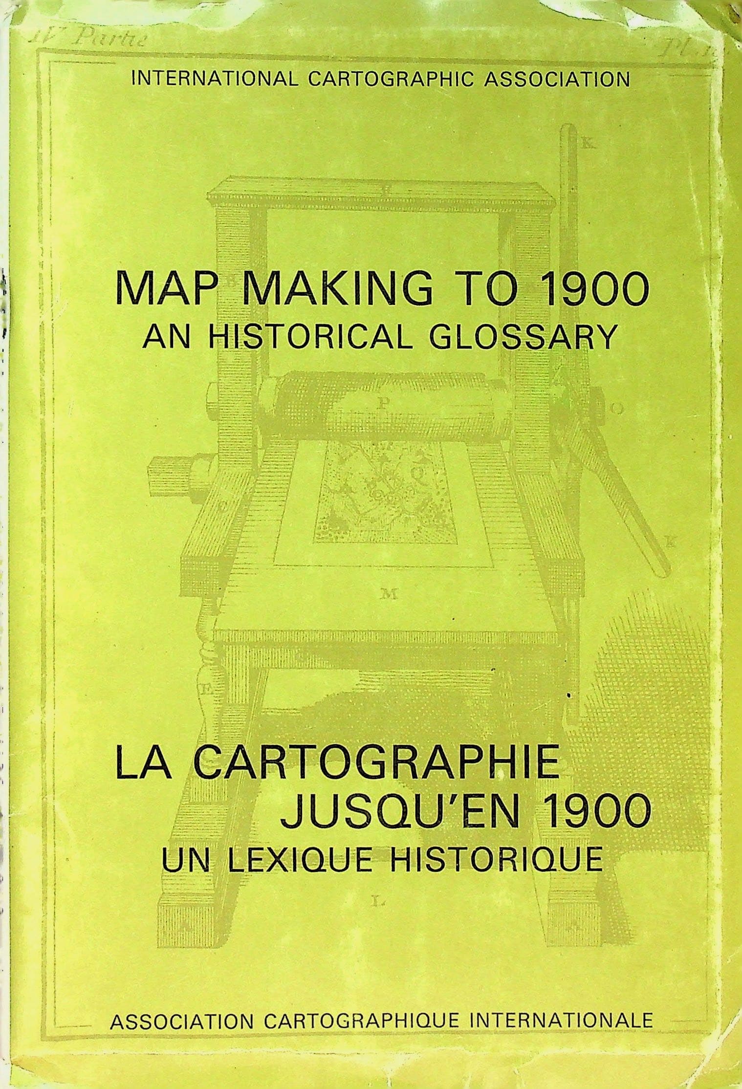
In Good condition. Yellow-green illustrated paper covers (engraved early printing press), staple bound; bumping and creasing to edges and corners, mild surface and edge wear, and some color loss along edges and spine. Publisher's title and price label affixed to inside front wrap. Binding tight; pages mildly toned, otherwise unmarked. The original 1976 preliminary study later expanded into the standard reference Cartographical Innovations: An International Handbook of Mapping Terms to 1900 (Wallis and Robinson, 1987). Prepared by the International Cartographic Association's Working Group on the History of Cartography and edited by Helen Wallis (1924-1995), Map Curator of the British Library and the foremost historian of cartography of her generation, with a preface by Arthur H. Robinson, creator of the Robinson projection. Issued for the Eighth International Conference on Cartography, Moscow, 1976. Each entry traces the origin and diffusion of a cartographic term or technique, with source citations, in parallel English and French. Contents: Acknowledgements; Preface (by A. H. Robinson); Introduction; Section I, Innovations in Purpose (Cadastral Map; Globe; Portolan Charts; Road Map; Spherical Chart; Tidal Chart); Section II, Innovations in Detailed Design (Cartouche; Date Line; Graticule; Grid; Hachures; Isobath; Isoline; Isopleth; Legend; Spot Height); Section III, Production Techniques and Materials (Anastatic Process; Cerography; Maps on Marble; Maps on Parchment; Maps on Silk; Maps on Stone; Typographic Maps; Woodcut).