Description
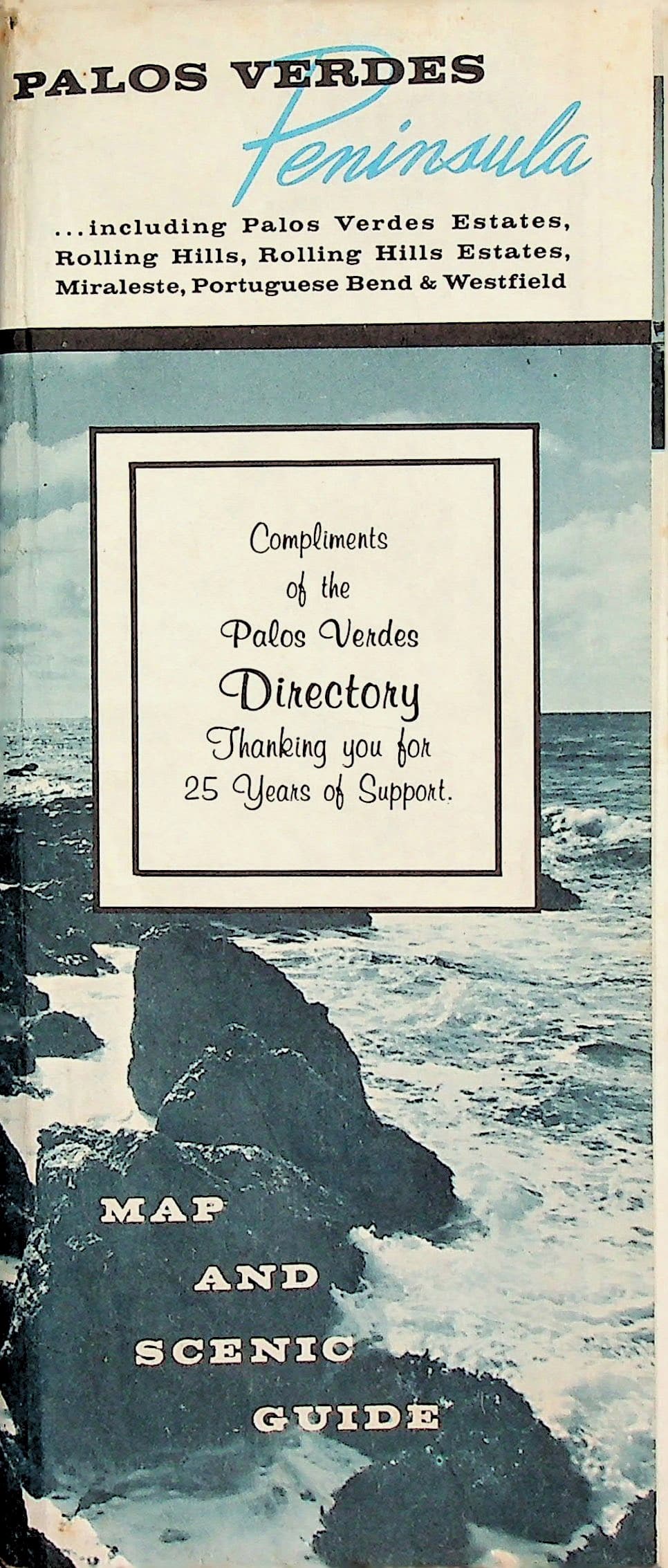
Rolling Hills Co-op Nursery School (Palos Verdes Directory), Rolling Hills, California. [No date: circa 1966]. Folding pictorial map and scenic guide, printed on both sides in color and black-and-white; approximately 45 x 62 cm unfolded, folding to 23 x 10 cm; illustrated with black-and-white photographs.
Condition & notes
In Good condition. Mild toning overall, with some spotting and toning along the edges. Some color loss along the fold lines, light fold creasing, and small tears at a few fold intersections. Otherwise unmarked.One side presents photographic panels and descriptive text on the Palos Verdes Peninsula communities, covering history, climate, recreation, schools and churches, with a small locator map of California's Mother Lode country. The reverse is a full-color pictorial street map of the peninsula (Palos Verdes Estates, the City of Rolling Hills, Rolling Hills Estates, Rancho Palos Verdes, Miraleste, Portuguese Bend and Westfield), with a street index, compass rose, and a border strip of scenic photographs. Landmarks shown include Marineland of the Pacific. Issued compliments of the Palos Verdes Directory, published by the Rolling Hills Co-op Nursery School.