Description
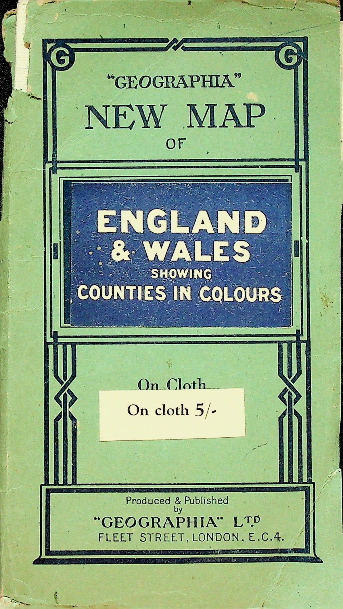
Geographia" Ltd., [No date: July 1942, from printer's code L.BU]. Folding map, color, mounted on cloth, approximately 30 x 40 in. (76 x 102 cm) unfolded, folded to 21 cm (8.25 x 4.5 in.), in printed paper covers; index to towns in margins.
Condition & notes
In Good condition. Green printed paper covers with "On cloth 5/-" price label to front; rear cover advertising the Geographia Mileage Map of England and Wales in 10 sheets. 1.5 in. chip to paper at head of spine, with a few other nicks, tears and creasing to edges. Mild shelf and edge wear with some toning and soiling, and a small stain to rear cover. Map clean, with a few pinhole openings at fold intersections visible only when held to the light. Otherwise unmarked. England and Wales with counties in color, north to Glasgow and Edinburgh, with the Isle of Man, the Northern Ireland coast and the French coast at the Strait of Dover. Shows railways, steamer routes with distances in nautical miles, canals and spot heights, with an index to towns keyed to a lettered and numbered grid. Counties as they stood before local government reorganization, including Cumberland, Westmorland, Rutland and Huntingdon. Printer's code L.BU at lower right of the index decodes by Geographia's CUMBERLAND cipher (C=1 through D=0) to July 1942. Geographia was founded by Hungarian-born Alexander Gross, father of Phyllis Pearsall of the London A-Z.