Description
Division of State Lands, Published 1973. Wraps, [48] pp (unpaginated); 28 cm; illustrated with black-and-white aerial photographs, tideland maps and diagrams.

Rare, out-of-print & unusual books · Since 1997
Turn the pages with the arrows, keyboard, or a swipe.
Division of State Lands, Published 1973. Wraps, [48] pp (unpaginated); 28 cm; illustrated with black-and-white aerial photographs, tideland maps and diagrams.
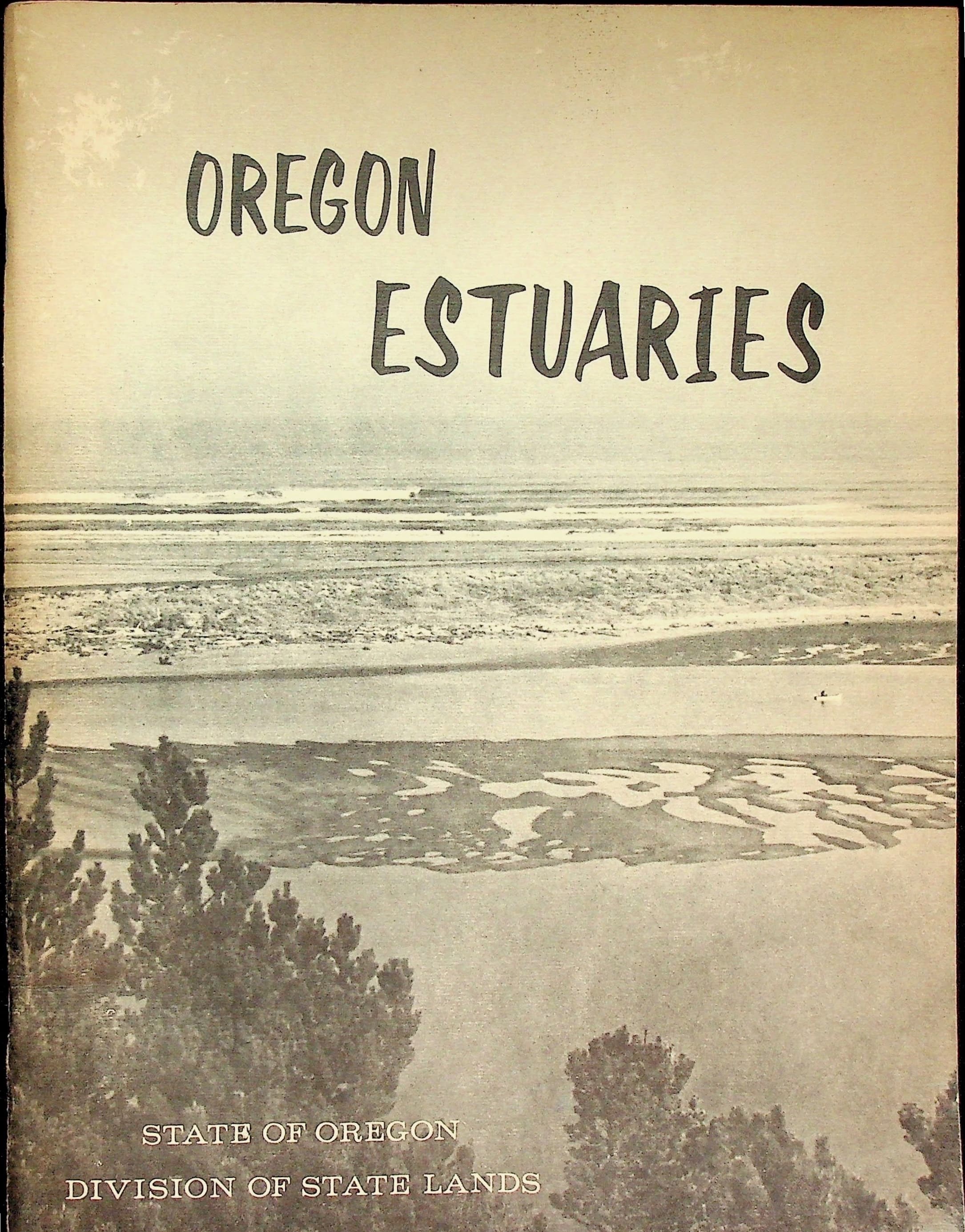
In Good condition. Black-and-white pictorial paper covers on tinted stock. Light bumping and creasing to edges and corners, some color loss along edges, and mild toning to edges. Scuffing to top edge near the corner. Binding tight, staple bound. Interior pages toned, otherwise unmarked. Tideland inventory of the Oregon coast issued by the Division of State Lands in June 1973, a month after Governor Tom McCall signed Senate Bill 100 and three years before Oregon adopted its statewide estuarine resources planning goal. Each estuary is given an aerial photograph paired with a tideland map showing the ground between mean low water and mean high water, among them Columbia River, Necanicum River, Tillamook Bay, Nestucca Bay, Siletz Bay, Yaquina Bay, Coos Bay, Winchuck River, Pistol River and Chetco Cove. Captions cover local economy and natural history: the 1953 breach of Bayocean Peninsula, oyster and clam harvests, log storage and wood chip export at Coos Bay, the Oregon Institute of Marine Biology at Charleston, Oregon State University oceanography at Yaquina Bay. Also a general estuary profile diagram keyed to plant zones from submerged land through tideland and salt marsh to upland, a chart of tides across the 28 day moon cycle, and an 1876 survey chart of Chetco Cove marking an Indian village on the Chetco River. Cartography and field work funded under the Federal Emergency Employment Act of 1971. Letter from the State Land Board over the printed signatures of Tom McCall, Clay Myers and James A. Redden.