
Description
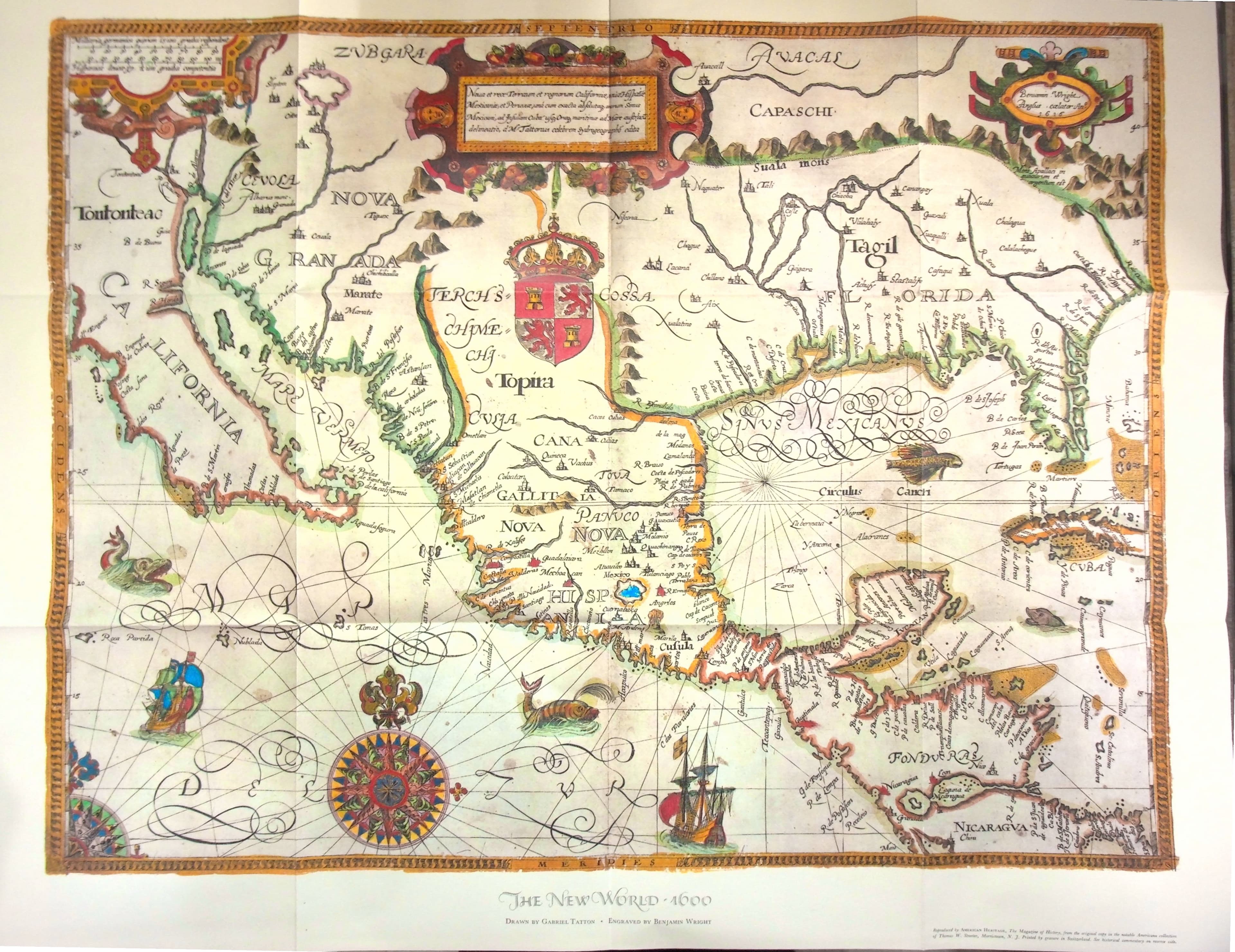
American Heritage, New York. Published date: no date listed, circa 1957. Color map reproduction printed by gravure in Switzerland. Single folded sheet; full sheet measures 48 x 60 cm. Folded in three panels both lengthwise and widthwise as issued. Recto reproduces an early seventeenth-century map titled The New World - 1600, drawn by Gabriel Tatton and engraved by Benjamin Wright. The map cartouche bears the inscription "Benjamin Wright Anglus caelator Ano. 1616," reflecting the later engraved state of the original plate, while the title refers to the historical period depicted. The reverse side contains a printed explanatory essay discussing the historical context of the map, English and Spanish exploration, early cartographic sources, and the original engraving history. The verso text states that this example reflects a later issue of the original engraving, with the date altered to 1616. Issued by American Heritage, The Magazine of History, and based on material from the Thomas W. Streeter Collection.