Description
Petroleos Mexicanos [Published Date: no date listed, circa late 1940s]. Booklet, 72 pp; illustrated with photographs, drawings, and fold-out map.

Rare, out-of-print & unusual books · Since 1997
Turn the pages with the arrows, keyboard, or a swipe.
Petroleos Mexicanos [Published Date: no date listed, circa late 1940s]. Booklet, 72 pp; illustrated with photographs, drawings, and fold-out map.
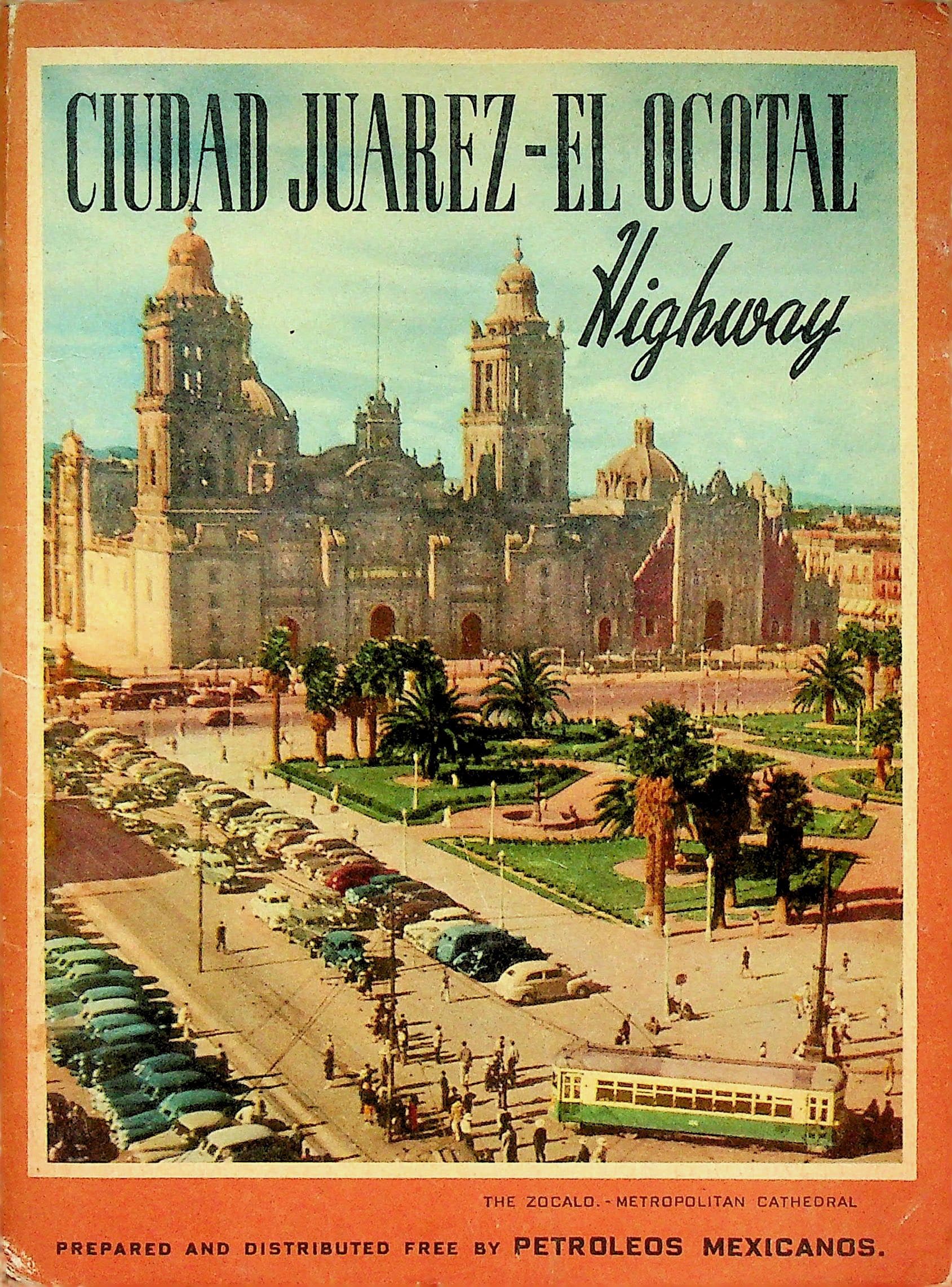
In good condition. Original orange color-enhanced pictorial wrappers featuring the Zocalo and Metropolitan Cathedral on the front cover, and a bucolic rural highway scene on the rear. Light bumping and creasing to edges and corners and light to moderate overall scuffing, soiling, and aging. Binding tight (staple bound). Newspaper article announcing the opening of the highway with penciled date of 5-4-50 affixed to inside of front cover with some numbers also scribbled in pencil next to it. Previous owners name in ink on title page. Light overall aging and soiling to pages. Prepared and distributed free by Petroleos Mexicanos (PEMEX) as a promotional travel guide for motorists along the Ciudad Juarez - El Ocotal Highway, a route extending 2,207 miles (3,561 km) from Ciudad Juarez, Chihuahua to El Ocotal, Chiapas, at the Guatemalan border. The guide describes cities, towns, landmarks, and attractions along the way, through twelve Mexican states, with historical notes, cultural commentary, and photographs. Includes a fold-out map showing the full route in red with distances between principal cities and towns. Contents include: Ciudad Juarez; Casas Grandes; Chihuahua; Parral; Durango; Zacatecas; Aguascalientes; Guadalajara; Tlaquepaque; Leon; Silao; Irapuato; Salamanca; Celaya; Queretaro; San Luis Potosi; Guanajuato; San Miguel Allende; Ixmquilpan; Pachuca; Mexico City; San Juan Teotihuacan; Tenyoacan; Tepotzotlan; Churubusco; Pyramid of Cuicuilco; Xochimilco; San Martin Texmelucan; Tlaxcala; Huejotzingo; Cholula; Puebla; Oaxaca; Monte Alban; Mitla; Tlacolula; Tehuantepec; Juchitan; Tuxtla Gutierrez; El Ocotal.